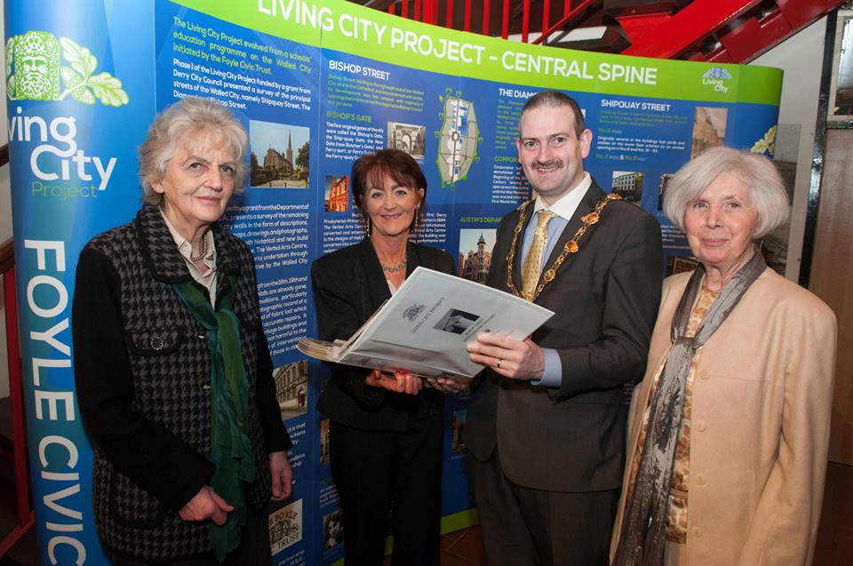
Phase 1 of the Living City Project, funded by a grant from Derry City Council, presented a survey of the principal streets of the Walled City, namely Shipquay Street, The Diamond and Bishop Street.
Phase 2, funded by a grant from the Department of the Environment NIEA, presents a survey of the remaining streets within the city walls in the form of descriptions, historical information, maps, drawings, and photographs, old and new. It includes both historical and new build works including The Playhouse, The Verbal Arts Centre, St Columb’s Cathedral and works undertaken through the Townscape Heritage Initiative by the Walled City Partnership.
This Project provides a valuable reference for anyone carrying out research, in addition to being the only comprehensive record of the Buildings and Streetscape of the Walled City.
Phase 1
Bishop Street
The Diamond
Shipquay Street
Phase 2
North Quadrant
Castle Street
Lower Magazine Street
Union Hall Place
North Quadrant Maps
East Quadrant
Bank Place
East Wall
Ferryquay Street
Linenhall Street
Market Street
Newmarket Street
Richmond Street
South Quadrant
Artillery Street
Saint Columb’s Cathedral
Church Walls
London Street
Pump Street
St Columb’s Court
South Quadrant Maps
West Quadrant
Butcher Street
Palace Street
Society Street
Stable Lane
Upper Magazine Street
West Quadrant Maps


